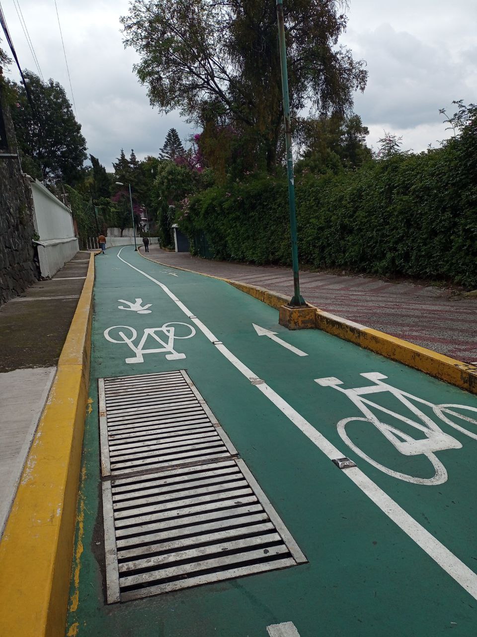
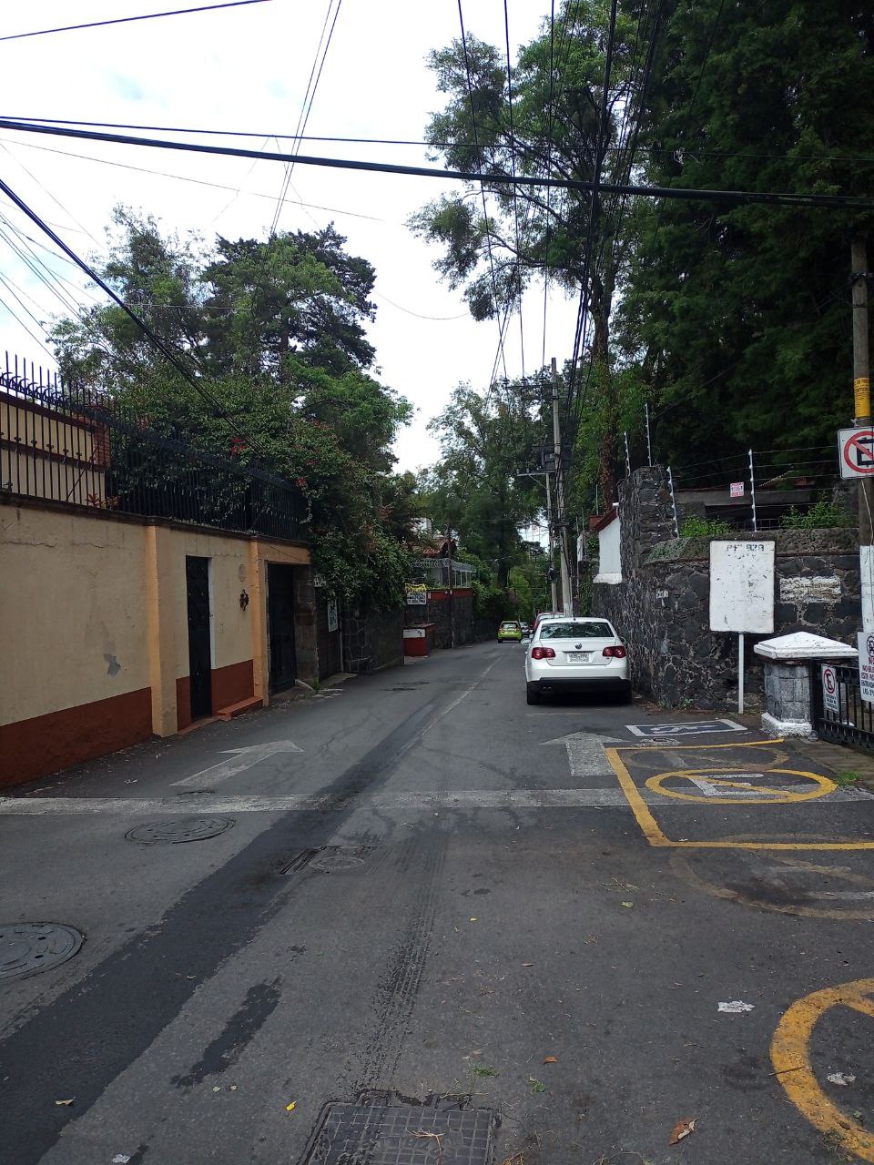
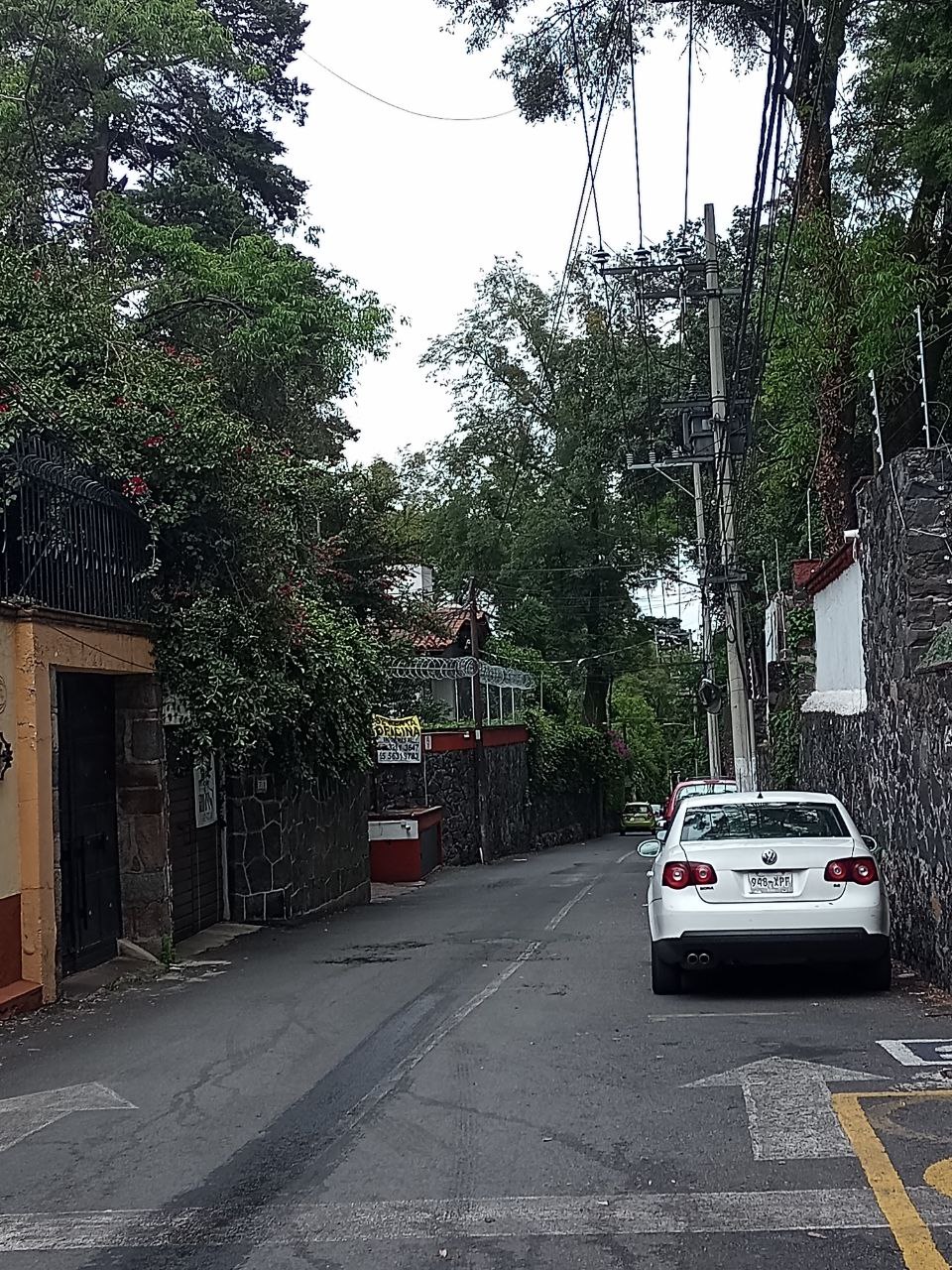
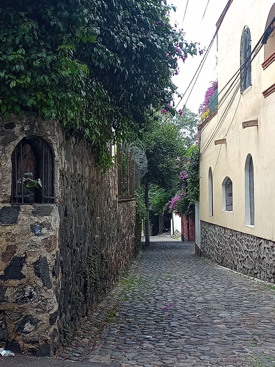
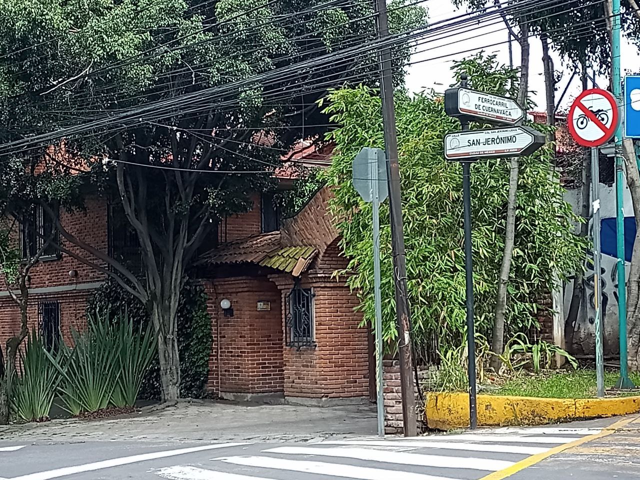
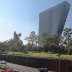
MexicoCity.cdmx.gob.mx

< Go Back

Avenida San Jerónimo

The Avenida San Jerónimo is one of Mexico City’s Iconic Streets. This is mostly because it traverses San Jerónimo, one of the big iconic neighborhoods in the south of the City. The avenue begins near the UNAM University City although in Álvaro Obregón and ends nearly at the Avenida San Bernabe in Magdalena Contreras. The avenue is meandering. But it can be divided into several different sections with some parts appropriate for pedestrians, and others less so.

  • A first stretch goes from UNAM to the Periférico highway with the two traffic directions separated by a median until the San Jerónimo Glorieta. This part runs directly south of the Parque El Batán and then north of the giant Plaza San Jerónimo shopping center.
  • At the glorieta, the avenue runs beneath the “second floor,” the elevated section of the Periférico highway that makes the area unsuitable for pedestrians, and largely unsuitable for vehicular traffic too.
  • On the other side of the glorieta and the highway(s), the avenue comes together and opens directly south of the Unidad Independencia. Independencia is important because it’s actually a much better walking neighborhood than nearly anything along the avenue thus far.

Walking San Jerónimo

  • The avenue loses it east-bound lane, and converts to a one-way street part way into the neighborhood.
  • For simple strolling, most visitors will want to walk the narrow and charming streets surrounding the church.  An archway welcomes you to San Jeronimo Lidice where the historic San Jerónimo church stands. Begun by the Franciscans in the 16th century, the church still serves as a  center to the town.
  • These are by and large just north and west of the marked area on the map. The narrow streets here easily qualify the town as one of Mexico City’s Best Walking Neighborhoods.
  • Among the most important streets are the Calle Santiago and Calle Heroes de Padierna. The latter is easily the most commercially developed. But pedestrians generally enjoy discovering all the little places along the way.
  • The best walking streets are generally south and east of the Cuernavaca Ciclovía. The bikeway meanders north-south through this part of the neighborhood and makes and excellent trip for those on a bike.

A little further on, the Avenida San Jerónimo begins its upward route towards the outskirts of Los Dinamos. The Center for Economic and Social Security (CEES) is and the Coordinator for the National Anthropology Institute (INAH) are both in this distant area. The old War College is also just west of the Center of the town.

How to get here

Nearby

San Jerónimo Aculco-Lidice

Nearest at 0.30 kms.

Peperino

Nearest at 1.3 kms.

Recomendado por CANIRAC

Negroni

Nearest at 1.3 kms.

Recomendado por CANIRAC

Related

National Conservatory of Music, Polanco

A remarkable National Monument and School of Music . . .

Parque de la Luz, Chapultepec

A wonderfully kept secret part of Chapultepec on the edge of Lomas . . .

Torre Virreyes, Lomas

A dramatic, looming tower above western Chapultepec . . .

Super Servicio Lomas

A remarkable vision of the mid-century in Mexico City . . .

Pabellón Polanco

Sears' stable stronghold in Polanco...

Practical guide and services