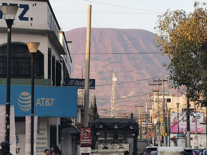
El volcán Yuhualixqui es uno de los volcanes monogenéticos de la cadena montañosa de la Sierra de Santa Catarina y se encuentra dentro de Iztapalapa. La mayor parte de la cordillera forma parte del límite entre Iztapalapa y Tláhuac al sureste.
El nombre náhuatl, Yuhualixqui, se puede traducir como “aquello que ensombrece” o “lugar donde se da sombra”. La montaña también se conoce, aunque muy poco hoy en día, como la montaña Alvarado o el volcán San Nicolás.
El pico se eleva a unos 2,420 metros sobre el nivel del mar. Es una de las partes más sobreexplotadas y deterioradas de la sierra. Una empresa minera privada compró la colina hace más o menos 40 años. El cuerpo en general se ha reducido en aproximadamente un 60%. También fue muy afectada por el terremoto del 19 de septiembre de 2017, lo que provocó un importante deslave de tierra.
La montaña es parte de la vida cotidiana en San Lorenzo Tezonco. Los residentes y activistas han protestado durante muchos años para detener las extracciones en curso. El pico es una fuente importante de agua subterránea capturada en el área y también es un hábitat para conejos y liebres locales. Se encuentra a unos 2.4 km del pico de Xaltepec.

Cercano a 1.31 kms.

Cercano a 1.48 kms.

Cercano a 1.51 kms.

Un importante desarrollo recreativo en el DU Quetzalcóatl.
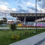
Uno de los parques urbanos más bellos de Iztapalapa . . .

Iztapalapa's most sustainable and eco-conscious Utopia . . .

Chicomecóatl is a neighborhood center and cultural hub for communities in the shadow of the volcano.
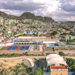
Un centro deportivo y cultural de temática acuática en la vertiente norte de la Sierra de Catarina.