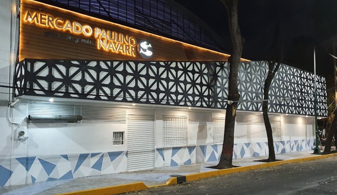
El Mercado Paulino Navarro fue renovado durante el periodo que abarcó los años de 2018 a 2022. Las obras se vieron interrumpidas por la pandemia de COVID19, pero los resultados fueron sobresalientes. Aunque durante mucho tiempo ha sido un destacado heredero de las antiguas lonjas de La Viga, a finales del siglo XX estaba casi irreconocible.
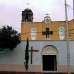
De hecho, ha sido durante mucho tiempo un mercado de barrio tanto para la colonia Paulino Navarro como para la vecina colonia Vista Alegre. Ambas estuvieron antaño, orgullosamente aisladas en la isla de Tultenco, en el extremo sur de la antigua Tenochtitlan. Posteriormente se integró a Zoquiapan, al sureste de la antigua ciudad. El nombre sólo sobrevive en la calle del barrio y en la capilla de Santa Cruz Tultenco.
Los franciscanos establecieron aquí un puesto avanzado a principios del Periodo Colonial. A finales del siglo XIX, la zona era famosa por ser la proveedora más importante de uniformes militares, una fábrica de capital francés llamada COVE. En 1905, el millonario español Iñigo Noriega formalizó la Colonia La Paz. Dividió y se benefició de la subdivisión de la tierra, pero al final de la Revolución Mexicana , casi toda la propiedad fue recuperada por el presidente Venustiano Carranza.
El barrio fue entonces rebautizado con el nombre del General Paulino Navarro durante la administración del Presidente Lázaro Cárdenas.
En 2022, el mercado se modernizó a fondo para dar un mejor servicio al barrio antiguo. Es un buen lugar para aprender algo sobre la zona de La Viga y el mismo sur de la antigua Tenochtitlan.
 55 4335 8040
Cercano a 0.26 kms.
Cercano a 0.36 kms.
Cercano a 0.41 kms.
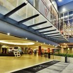
One of Mexico City's leading galleries for design, art, and furniture . . .
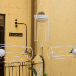
A tiny chapel recalls the long history of the Colonia Tránsito . . .
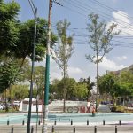
A little shopping center in the historic Colonia Transito . . .
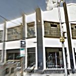
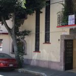
A community collaborative center in the heart of Colonia Doctores . . .
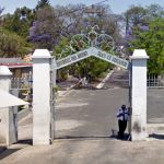
Mexico City's "most beautiful" cemetery along the Piedad River . . .