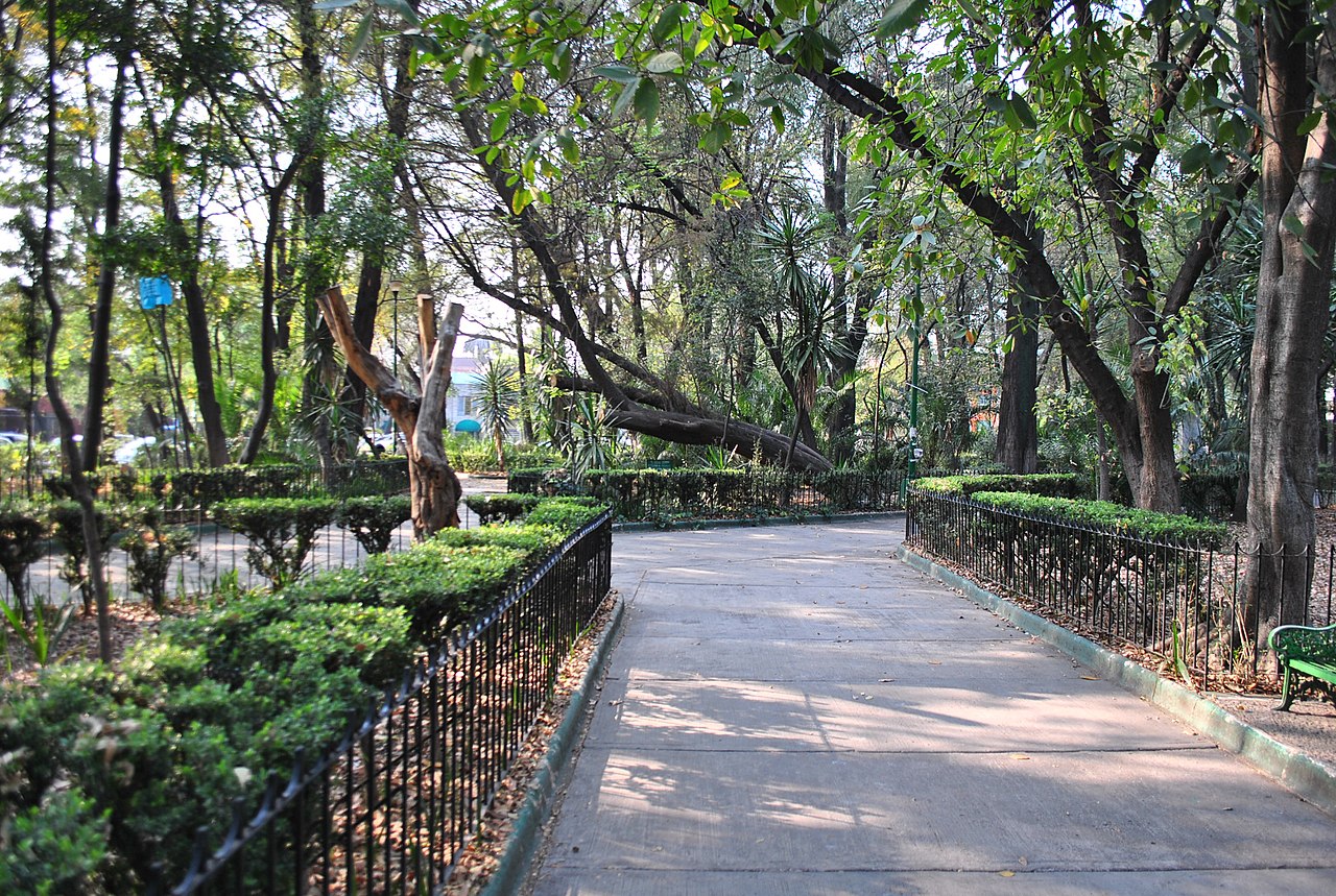
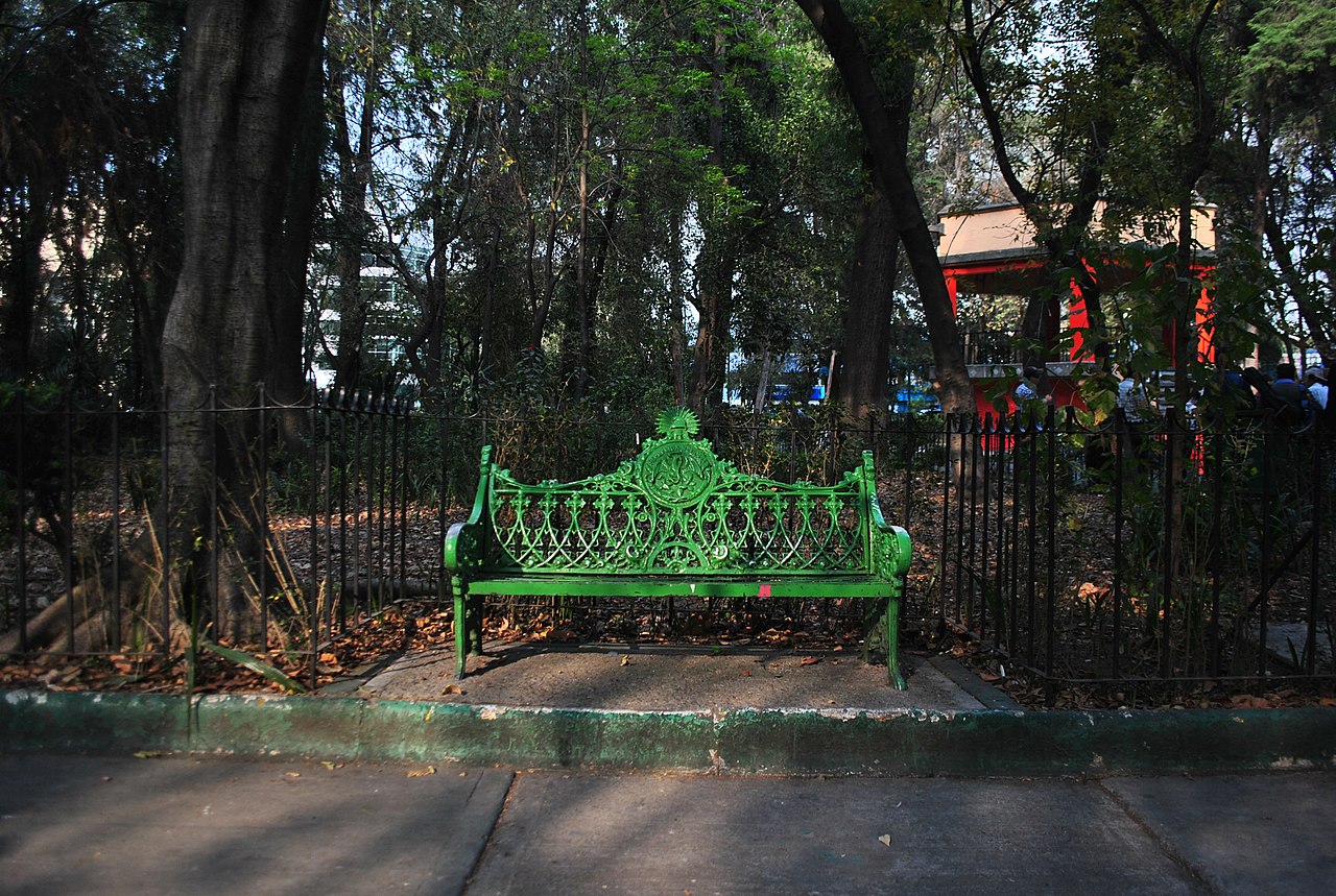
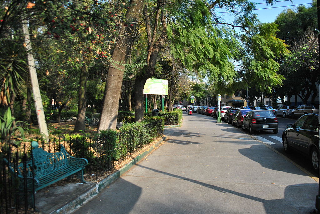
Fotos: ProtoplasmaKid, Attribution-Share Alike 4.0 International
El Parque Revolución es la pieza central de la colonia Nueva Santa María. Uno de los barrios más queridos de Ciudad de México, es también uno de los más transitables.
El parque formaba parte de un plan de calles que preveía una avenida de este a oeste, Clavelinas. A ésta la cruzan cinco avenidas desde el noroeste. Yuca es la sexta, en el extremo oeste de Clavelinas. Cada una de estas avenidas alberga una amplia mediana; bordeadas de árboles maduros, discurren hoy por una “ciudad jardín”. Es un barrio que no ha hecho más que crecer en popularidad, y con gran parte de la “cultura de la acera” tan buscada en el urbanismo contemporáneo.
Todo este nuevo urbanismo surgió en la década de 1940. El terreno formaba parte del rancho Camarones, llamado así por la Calzada de Camarones, que corría al poniente de Azcapotzalco. Conectaba al sur de Nueva Santa María con la antigua Calzada México Tacuba.
Los residentes se refieren al parque también como la “Glorieta Parque Revolución”, reforzando su condición de glorieta. El parque tiene ya unos 80 años y alberga algunos árboles verdaderamente maduros. Entre ellos destacan varios ahuehuetes. Éstos confieren mayor majestuosidad al busto de Miguel Hidalgo y, desde luego, al quiosco central.
El Parque Revolución sigue siendo el eje en torno al cual gira Nueva Santa María. Es un parque de barrio tranquilo, pero que los residentes no cambiarían por nada.
Cercano a 0.08 kms.
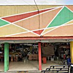
Cercano a 0.26 kms.
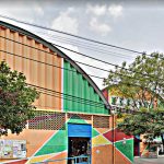
Cercano a 0.74 kms.
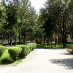
One of Azcapotzalco's popular neighborhood parks and libraries . . .
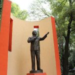
El principal parque en la colonia Clavería, Azcapotzalco.
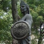
Itzcóatl fue el cuarto tlatoani de los mexicas, sacerdote y reformador religioso que derrotó a los tepanecas.
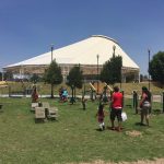
Un próspero parque de barrio en San Miguel Amantla...
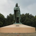
Este espacio, con la famosa estatua del mismo Tezozomoc, alberga muchos lugares interesantes sumados a la explanada y a las áreas abiertas.