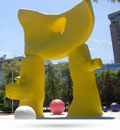
El Sol bípedo de Pierre Székely
 Periférico Sur, Inter Carretera Picacho-Ajusco, Alc. Tlalpan 14210 CDMX


Parque Lúdico Macondo, Tlalpan
 Camino Sta. Teresa, Col. Fuentes del Pedregal, Alc. Tlalpan, 14140 CDMX


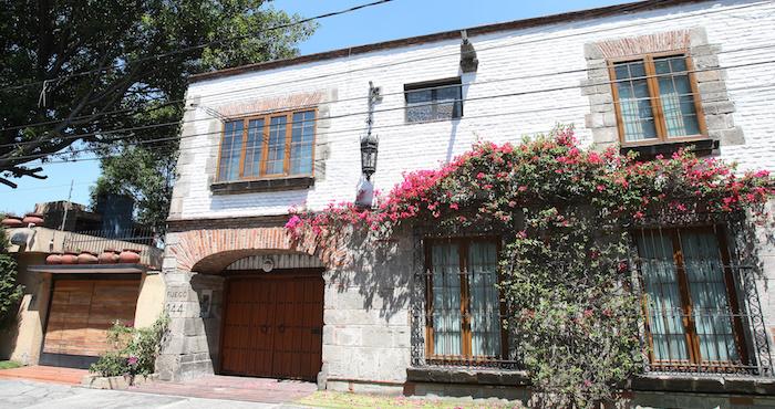
Casa de la Literatura Gabriel García Márquez
 Fuego 144, Col. Jardines del Pedregal, Alc. Álvaro Obregón, 01900 CDMX


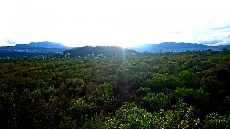
Reserva Ecológica del Pedregal de San Ángel
 Ciudad Universitaria, C.U., Alc. Coyoacán, 04510 CDMX


ARTZ Pedregal
 Periferico Sur 3720, Col Jardines del Pedregal, Alc. Álvaro Obregón, 01900 CDMX


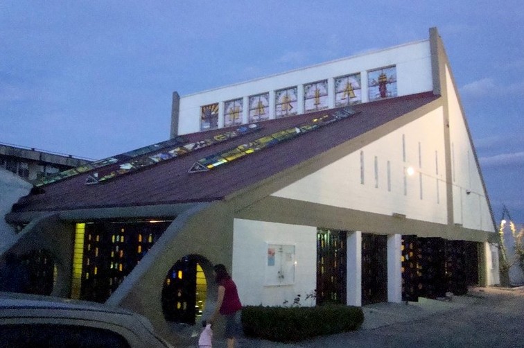
La Lupita Chapel, Col. Ajusco
 Calle Montecuzoma S/N, Col. Ajusco, Alc. Coyoacán, 04600 CDMX


