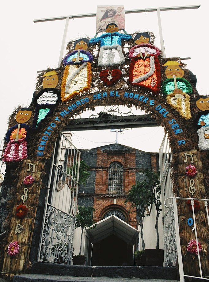
Pueblo Santa Úrsula Coapa
 Calz. de Tlalpan 14, Coyoacan, Coyoacán, 04350 CDMX


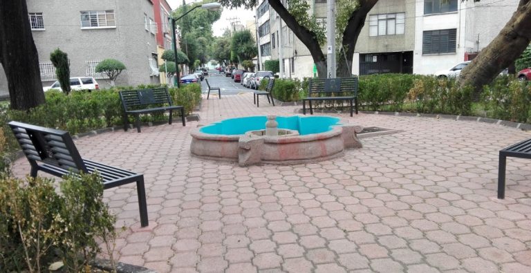
Glorieta Postal
 Certificados y Unión Postal s/n, Postal, Benito Juárez, 03400 CDMX


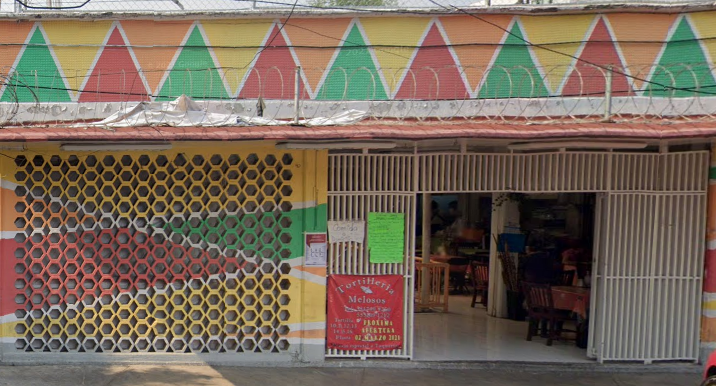
Mercado Santa Anita, Colonia Nueva Santa Anita
 Andrés Molina Enríquez s/n esquina, Calz. Sta. Anita, Nueva Sta Anita, Iztacalco, 08210 CDMX


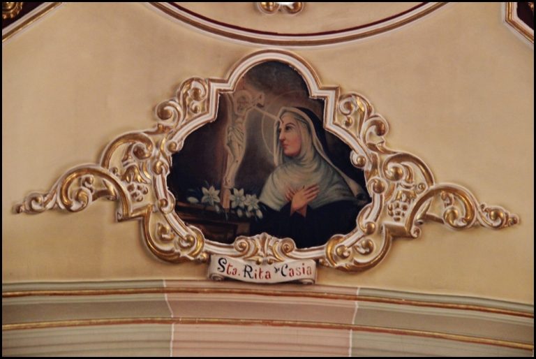
Iglesia de Santa Rita de Casia
 Calle Javier Sorondo 324 Col. Villa de Cortes, Benito Juárez, 03510 CDMX


Mercado Portales
 Calz. Sta. Cruz, Col. San Simón, Alc. Benito Juárez, 03660 CDMX


Museo del Ejército y Fuerza Aérea
 Calzada de Tlalpan No. 1836, Col Country Club, Alcaldía Coyoacán, 04220 CDMX


