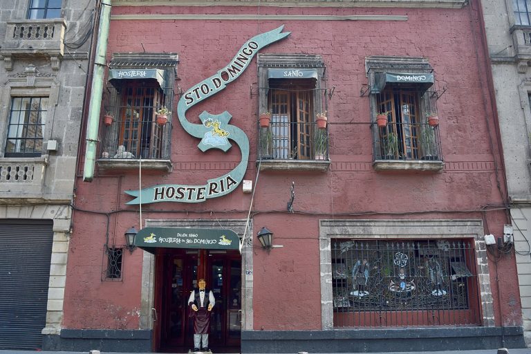
Hostería de Santo Domingo
 Calle Belisario Domínguez 70-72, Col. Centro Histórico, Alc. Cuauhtémoc, 06010 CDMX
 Sitios y Edificios Históricos

Templo de Santa Teresa la Nueva
Calle Loreto 15, Centro Histórico, Cuauhtémoc, 06000 CDMX
 Arte Público y Monumentos

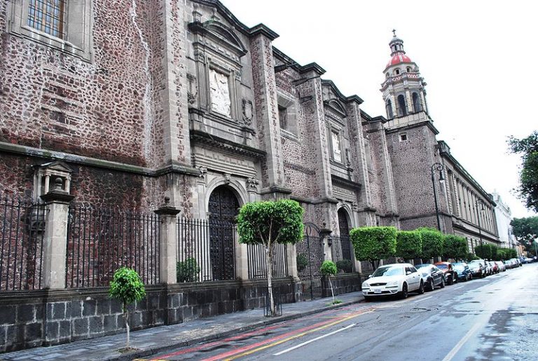
Templo de Santo Domingo
Belisario Domínguez S/N, Centro Histórico de la Cdad. de México, Centro, Cuauhtémoc, 06010 CDMX
 Iglesias y Catedrales
Convento de la Encarnación
República de Argentina 28, Col. Centro Histórico, Alc. Cuauhtémoc, 06000 CDMX
 Museos
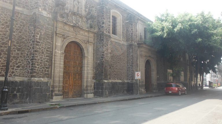
Exconvento de Santa Catalina de Siena
República de Argentina 29, Centro Histórico, Alc. Cuauhtémoc, 06000 CDMX
Iglesias y Catedrales
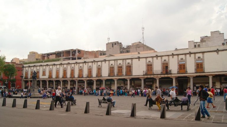
Portal de los evangelistas / Portal de Santo Domingo
Santo Domingo 4-12, Centro Histórico, Cuauhtémoc, 06010 CDMX
Sitios y Edificios Históricos