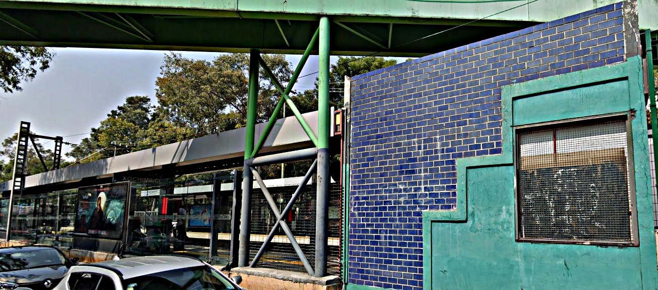
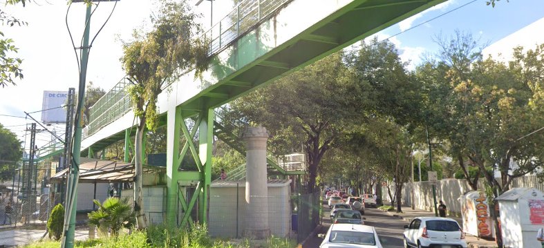
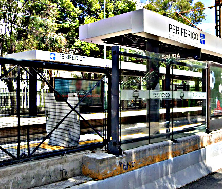
La estación Periférico del tren ligero se encuentra justo al norte de la famosa autopista de circunvalación que rodea la Ciudad de México. No debe confundirse con la estación de Metro Periférico Oriente de la Línea 12. Esta última se encuentra a unos 19 minutos en coche hacia el este por la misma autopista, mientras que esa estación de Metro es la más alta de Ciudad de México, esta pequeña estación de metro ligero tiene su propia distinción. Se trata de una parada de tránsito completo que, de algún modo, encaja en una frondosa sección de la Calzada México-Xochimilco.
La estación también se llama “Participación Ciudadana”. Se trata de un reconocimiento al sistema de transporte y al compromiso general de Ciudad de México con una democracia más amplia en lo que se refiere a obras e instalaciones públicas. La estación es especialmente importante por su proximidad al centro administrativo de la Universidad Autónoma Metropolitana y al instituto La Salle del Pedregal. El gigantesco Campus Xochimilco del Instituto Tecnológico de Monterrey (Tec de Monterrey) es visible desde la estación.
El logotipo de la estación representa un distribuidor vial de trébol, omnipresente en el diseño de autopistas del siglo XX. El Periférico rodea gran parte de Ciudad de México y sigue siendo una de las principales vías de circulación de vehículos. Su longitud total es de 120,83 kilómetros. La autopista se inició en los años cincuenta y se abrió en varias fases a lo largo de los sesenta.
En aquella época, la mayor parte de la zona estaba rodeada de grandes extensiones de tierras de cultivo. La estación del Periférico se encuentra también en los límites de la antigua Hacienda de Coapa, al este. Poco a poco, el desarrollo urbano, los edificios industriales y los barrios han ido creciendo en lo que antes eran tierras de cultivo.
Cercano a 0.75 kms.
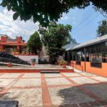
Cercano a 1.02 kms.
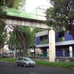
Cercano a 1.02 kms.

A small neighborhood park amidst the long history of Coapa . . .
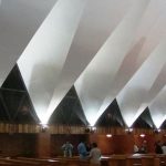
A modernist triumph and neighborhood church in Espartaco, Coyoacán . . .
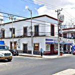
The former Big House of one of Coapa's great historic haciendas . . .

A giant neighborhood market for south eastern Coapa and Cuemanco . . .
One of the UAM's strongest draws for international visitors . . .