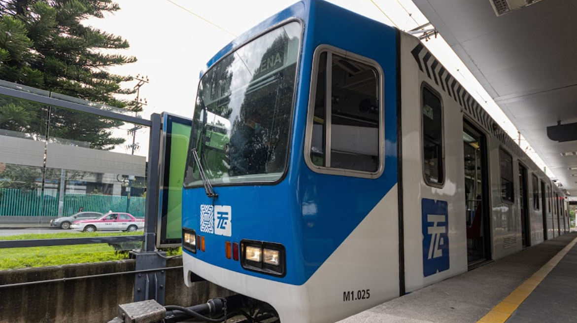
La estación del Tren Ligero de Textitlán lleva el nombre de la calle que comienza aquí y serpentea por la mayor parte del norte de Santa Úrsula Coapa. La calle, a su vez, debe su nombre al pueblo de Santiago Textitlán, en Oaxaca. Se trata de un histórico pueblo zapoteca de unos 850 habitantes situado a unas cuatro horas en coche al suroeste de la capital del estado de Oaxaca.
El nombre náhuatl viene de las palabras texcalli (roca) y titlan (entre), que se traduce por algo así como “entre las rocas”. El logotipo de la estación hace referencia a las plantas de maguey comunes en todo el paisaje oaxaqueño, incluida la región de Santiago Textitlán. Sin embargo, la ciudad es más conocida por la explotación forestal y el cultivo de madera.
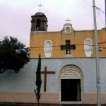
La estación del Tren Ligero de Textitlán está cerca del Campus Coyoacán de la Universidad del Valle de México (UVM) y de la preparatoria conocida como “Prepa 5”. Los estudiantes casi siempre conforman un buen número de personas que abordan o descienden aquí. La iglesia de Santa Úrsula está un poco más adelante, pero es visible desde el tren ligero antes de la Estación el Vergel. Al otro lado de las vías, el barrio de la Ex-Hacienda Coapa se extiende hacia el este. Esto es un recordatorio de que el asentamiento original de Santa Úrsula Coapa en realidad es anterior, y hoy supera a la otrora gran hacienda de Coapa.
Cercano a 0.49 kms.
Cercano a 0.53 kms.
Cercano a 0.55 kms.
An all but forgotten island of the ancient Texcoco Lake . . .
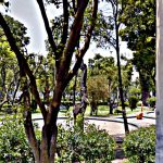
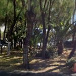
A charming neighborhood park in Tlalpan . . .
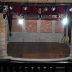
An exceptional mini-theater district in the heart of Churubusco . . .
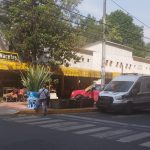
Un mercado de flores abierto las 24 horas en la zona de hospitales . . .
A tiny chapel recalls the long history of the Colonia Tránsito . . .