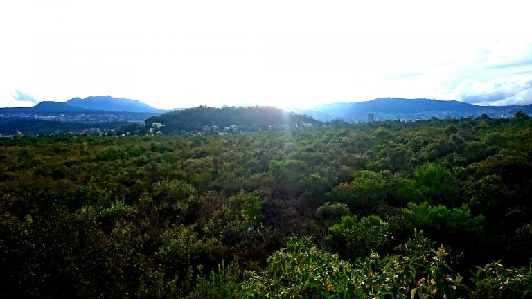
Pedregal de San Ángel Ecological Reserve
 Ciudad Universitaria, C.U., Alc. Coyoacán, 04510 CDMX
 Parks
Parks

Estadio Azteca Light Rail
Calzada de Tlapan, Col. Ex-Ejido de Sta Úrsula, Coapa, Alc. Coyoacán, 04650 CDMX
 Metro & Transit Stops
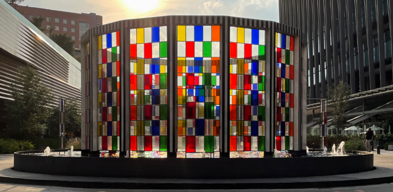
Arte Abierto
Anillo Perif. 3720-Piso 2, Col. Jardines del Pedregal, Alc. Álvaro Obregón, 01900 CDMX
 Performing Arts
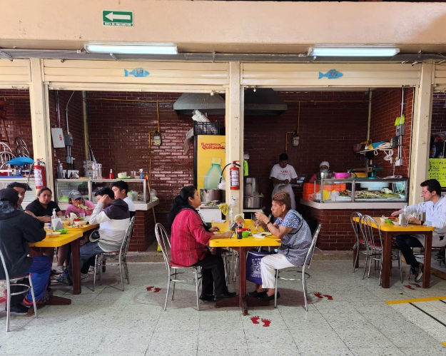
Mercado Santa Úrsula Coapa
San Gonzalo/San Benjamín, Col. Pedregal de Sta Úrsula, Alc. Coyoacán, 04600 CDMX
 Shopping

Parque Lúdico Macondo, Tlalpan
Camino Sta. Teresa, Col. Fuentes del Pedregal, Alc. Tlalpan, 14140 CDMX
Parks
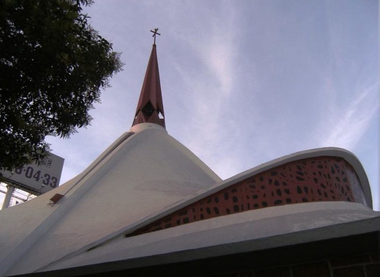
Santa María de los Apóstoles, Coyoacán
Coscomate 120, Col. Bosques de Tetlameya, Alc. Coyoacán, 04730 CDMX
 Temples