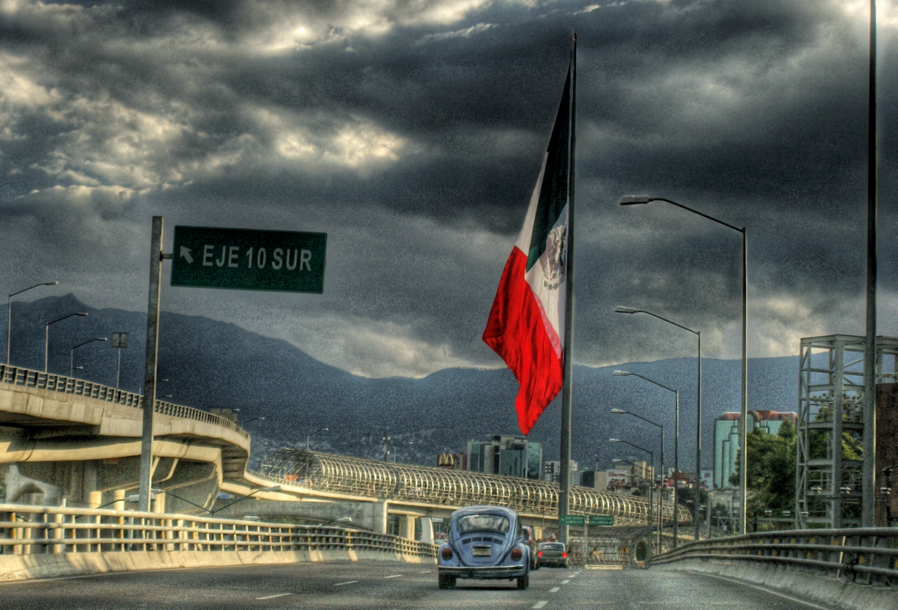
Puede pensarse que la Glorieta de San Jerónimo es simplemente uno más de los lugares de intercambio en el complejo sistema de tránsito de las vías rápidas de la ciudad. Pero desde que se plantó allí una bandera monumental, se ha convertido en uno de los puntos de referencia del sur de la capital mexicana.
En la década de los 1950, la glorieta fue modelada como una modesta intersección; y aunque todavía es visible parte del diseño original de su rotonda, actualmente es el espacio sobre el que se levantan los muchos niveles de la autopista elevada. El Anillo Periférico fue construido en los años de 1960 y aquí, como en otras partes de la ciudad, se hace evidente al observador las maneras en que la construcción de esa vía modificó no sólo el transporte, sino la cultura y la vida de Ciudad de México y sus habitantes. Continuando esas transformaciones iniciadas en los años sesenta, el viejo Periférico ha sido convertido en un sistema mucho más amplio de autovías que circunvalan el oeste y el sur de la ciudad, no obstante que algunos de sus tramos, como los que pasan por la Glorieta de San Jerónimo, conserven aún la también vieja denominación de Boulevard Adolfo López Mateos.
El asta bandera monumental de San Jerónimo, erigido en el centro de la glorieta en 1997, siguiendo una directriz del presidente de la República, Ernesto Zedillo, para instalar banderas mexicanas gigantes en varias ciudades del país. Ese ordenamiento señalaba que tales asta banderas debían tener al menos 50 metros de altura. Así, la bandera monumental que ondea en la Glorieta de San Jerónimo es una de las tres que tiene Ciudad de México; las otras están en el Zócalo y en el Campo Marte, en la orilla occidental del Parque de Chapultepec.
La Glorieta de San Jerónimo también señala los límites entre el pueblo de San Jerónimo Lídice-Aculco que está al lado oeste, y el pueblo de Tizapán, uno de los asentamientos originales de Álvaro Obregón, que queda del lado este.
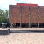
Cercano a 0.31 kms.
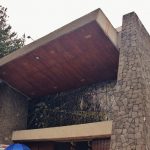
Cercano a 0.42 kms.

Cercano a 0.47 kms.
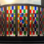
An impressive contemporary art museum in an inspiring context . . .

One of Pedregal's newest, biggest shopping centers . . .
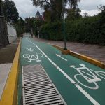
Main street in one of Mexico City's most iconic southern neighborhoods . . .

An important natural enclave helps birds moving to and from the southern highlands . . .
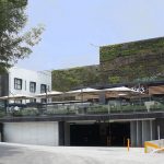
San Jerónimo's tiny commercial plaza and chain store center . . .