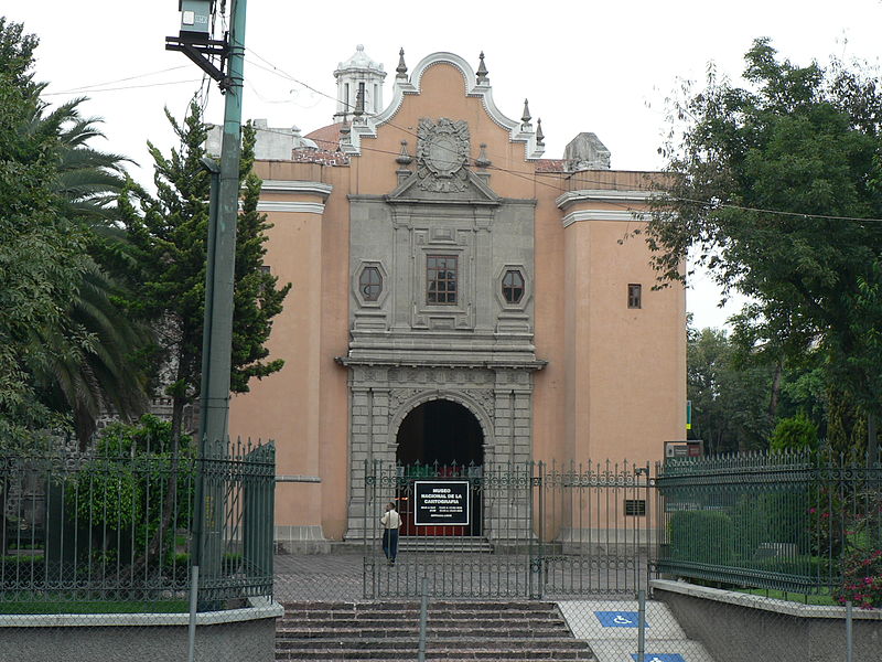
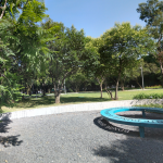
The National Museum of Cartography is on the grounds of a small part of the former San José monastery. Built by the Dieguinos, Franciscans of extreme poverty and piety, in New Spain they were most famous for their monastery in Cuautla, in the state of Morelos. In Mexico City, they also founded the Monastery of San Diego, today the Laboratorio Arte Alameda. Here, they began construction in 1686. The convent extended from the museum eastward, essentially to the Parque Lira of today. Visits to the museum are often combined with a visit to the park.
Most of the convent is behind the walls across the street and still an important military installation. As a result of the Bourbon laws, in 1827, this part of the monastery was closed. It reopened only in 1843 and then under the control of the army. The rest of the monastery passed to the Federal Government in 1859 although some parts were still used for Catholic worship.
In 1914 it was definitively closed, and already remodeled by 1917. Not entirely appropriate for military use, by the mid-20th century it was left in the hands of the National Institute of Anthropology and History.
Today’s National Museum of Cartography opened in 1999. It’s dedicated to the historical attempts to graphically depict the Mexican territory. The collections include:
Hours: Tuesday to Saturday – 10 a.m. to 5 p.m.
Sundays and holidays – 10 a.m. to 4 p.m.
 mus_carto@mail.sedena.gob.mx
 +52 (55) 5272 6686
 http://www.sic.gob.mx/ficha.php?table=museo&table_id=977

Nearest at 0.33 kms.

Nearest at 0.33 kms.
Nearest at 0.35 kms.
A remarkable vision of the mid-century in Mexico City . . .
A remarkable National Monument and School of Music . . .
A wonderfully kept secret part of Chapultepec on the edge of Lomas . . .

A dramatic, looming tower above western Chapultepec . . .
Main street in one of Mexico City's most iconic southern neighborhoods . . .